Archive for April, 2010
The second-to-last province I’m riding through in NW-Argentina is Salta. The capital Salta, a city of about 500.000 people, has a lot to offer and hence attracts a lot of tourists. During the approach from the South, after the town of Cafayate, I already experienced some great landscape at the Quebrada de Las Conchas.


After 11 days of nonstop riding from Mendoza I decided to spend the weekend resting in Salta. Arriving in the province brought the first cloudy and cool weather since I left Bariloche in late February some 2 months ago. A change in weather had dropped the temperatures in Salta by 15C and signalled the arrival of fall.
After a rest-day on Saturday spent with logistics I decided to undertake a day-trip on Sunday by bus to Cachi. The very scenic road climbs 2000m over a 3400m high pass, literally above the clouds.

Once over the top the landscape and the microclimate change dramatically. Arid plains and plenty of candelabra cacti present themselves in the National Park “Los Cardones”. The view opens up of the valley with the nice little town of Cachi and the huge Nevado de Cachi (6720m) towering behind.

Back after a very long day I got to enjoy Salta by night, with sights like the splendidly illuminated Cathedral on the central Plaza 9 de Julio.

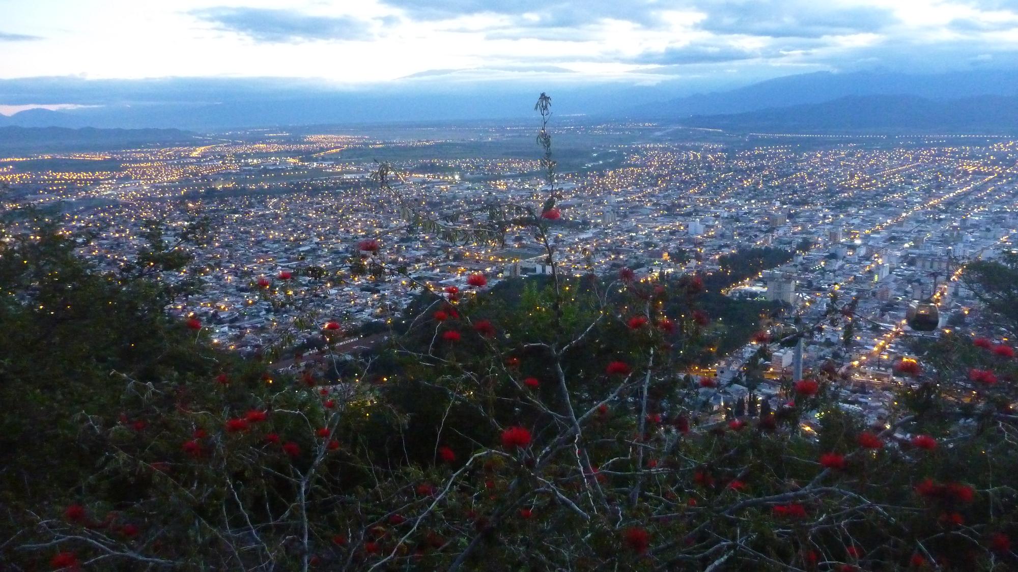
I spent an extra rest and logistics day on Monday. In the late afternoon I walked 1072 stone steps up to the Cerro San Bernardo, from where you have a great view of the city. In the fading light I took this picture of Salta:
The next day I continued North towards the province of Jujuy. I stopped for brunch in the idyllic little town of La Caldera. A stop at the beautiful Hosteria La Caldera is a must for every cyclist (or other tourist for that matter).

The road (Ruta 9) then climbs over a 1600m high saddle and descends into a lush cloud forest towards the reservoirs created by the Dique de Cienaga. This was one of the finest roads I have cycled in Argentina – no, make that “I have ever cycled on”! Just fabulous, smooth paved road, slight downhill, no traffic, extremely winding road, and lush rainforest all around!

I’m greatly enjoying this much green prior to heading up to the Altiplano and Bolivia in the next couple of days…
April 27th, 2010
Perhaps the most (in)famous roads in Argentina is the Ruta 40, running all the way across the country North-South. It stretches some 5224km from the Southern tip near Rio Gallegos to La Quiaca at the Bolivian border in the North. It crosses 11 provinces and 20 National Parks. It begins at sea level and reaches almost 5000m in the Salta region. Very few countries in the world can boast such a long road across so many different regions!
Certainly its longest road, the Ruta 40 is an icon in Argentina similar to the Route 66 in the United States. Many books have been written on the Ruta 40, and travelling the entire length is an epic journey, especially in the South where it remains an untamed, wild and remote undertaking. More details can be found on the (Spanish) Wikipedia page.
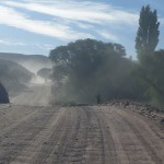
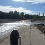
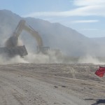
On my journey up from Patagonia to Bolivia I happened to ride on the Ruta 40 several times. Probably less than 10% of that distance was on gravel roads, so my experience was perhaps a tamed one. That said, there have been some slow sections on the infamous “ripio”, with dust, sand, washboard, wind, heat, lack of water, and steep hills reducing the cyclist’s speed often to walking pace. Below are some photos of those sections between Mendoza and Salta.
As far as I know there is not a single, designated road called the “Panamerican Highway” across the entire length from Alaska to Patagonia. But I’m sure that every cyclist undertaking this journey of the Americas will travel some section on the iconic Ruta 40 in Argentina.
April 24th, 2010
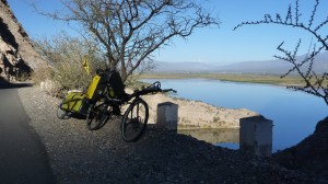
Entering the Canyon of La Cienaga after San Jose de Jachal
After my Easter week in Florida I returned to Mendoza, staying there for a fifth time (a record for any place along my project). The city was by now quite familiar and I enjoyed one more afternoon and evening there. It felt a bit like a time warp, shopping in the same supermarket and dining at the same buffet we had done before and after Aconcagua. My only negative experience was an attempted theft: Three young girls walking behind me suddenly opened the zipper of my outside backpack pocket and tried to grab something. I turned around immediately and they ran off; luckily they didn’t get a hold of anything valuable, but it was a stern warning to be extra careful in touristy places.
Then back on the bike. My first day turned out to be a great day, thanks to persistent South winds I went far further and faster than I had planned. Plus, the Ruta 40 is completely flat between Mendoza and San Juan, so I just kept humming along with tailwind, already logging 100km at noon. I stopped in San Juan (170km) – the capital of the Province of the same name – for an afternoon coffee, already further than I thought I would go; but the tailwind was too good to pass up, so I kept going, literally until sunset, which also brought fantastic light for photos. In the end, I stopped at Talacasto after some 227km – just a little kiosk in the middle of nowhere, but I could buy some sandwiches for dinner and water and juice for the next day. Life was good.

Final hour of long tailwind ride from Mendoza past San Juan
The Ruta 40 follows an old, long defunct railroad track, which can be seen alongside the road. Every 20 km or so there are some old stone buildings, probably former stations for the railroad. They are sometimes even listed in the road map, but they are just ruins and many times there is nothing there at all.
The next stations of the journey were San Jose de Jachal and Villa Union. Great scenery, with North-South valleys and the Andes to the West. After Jachal the road crosses a small ridge in a canyon called La Cienaga, one of the most scenic places I have seen since leaving Bariloche. A perfect road for cyclists, narrow, steep, windy, paved, no truck traffic (re-routed around), and very scenic – a must for every cyclist.

Top section of the Cuesta de Miranda pass between Villa Union and Chilecito
Yesterday from Villa Union to Chilecito I had to cross the Cuesta de Miranda, at 2020m a pass of about 1000m vertical. The scenery is quite lovely here as well, just North of the Parque Nacional Talampaya, the crown jewel of the La Rioja Province. Also some 40km of gravel, the first I had since Bariloche. So that was quite hard, but nothing compared to the crazy passes over the Andes which connect Argentina and Chile. For example, I have read an account of a loop from La Serena to Copiapo, then over the Paso de San Francisco, back South on the Argentina side to Jachal, then back over the Paso de Agua Negra to La Serena. Both passes around 4750m high, with lots of desert and gravel tracks, 4000m of climbing each, talk about extreme cycling…
I plan to follow Ruta 40 North through the Catamarca and into the Salta Provinces. I am adding detailed daily logs to the Argentina ride page and some select photos to the Argentina Picasa album. As usual, you can also follow my progress on my Argentina SPOT tracking page.
Suerte…
April 17th, 2010

Summary:
For the last 10 days or so I have been riding North from Bariloche towards Mendoza. Arguably the Routa 40 and the road of the 7 lakes would have been the most scenic, but also longer distance and much more mountainous, which given my limited time and heavy bike + trailer wasn’t a good option for me. Instead I chose the route via Neuquen, a bit East of the Andes. This starts out with some hills and follows rivers and reservoirs. After Neuquen it is pretty much all flat, with long stretches of tree-less Pampa between towns. This dictated some very long days, often between 8 and 9 hours, with an average of 140km over 7 days. These long stretches of hot riding through the middle of nowhere require some physical stamina and preparation – like taking on enough water for example – but they seem to be first and foremost a mental challenge: Riding endless straight roads to the horizon through the desert isn’t for everyone and often requires a lot of patience. But it also has its rewards, like rolling down some hills, or cruising effortlessly with tailwind, or just reaching the goal with the sun low on the horizon after a long, hot day. The people are friendly and curious, especially in the smaller towns not frequented by many tourists. With my recumbent and trailer I generate a lot of excitement everywhere I show up; in this regard this reminds me a lot of Mexico and Central America. Also, riding through the Pampa reminded me of the Baja California, where it was equally arid and maybe even hotter. Argentina is a vast country; after these 1200km or so from South to North I would have long crossed all of Germany for example. On the map of Argentina this is barely one quarter of the North-South extent of the country! So after the big countries in the North (Alaska, Canada, U.S., Mexico) Argentina and Chile are the two big countries in the South.

Photos: http://picasaweb.google.com/tlausserPicasa/Argentina
Page: http://tlausser.com/blog/rides/argentina
April 2nd, 2010

